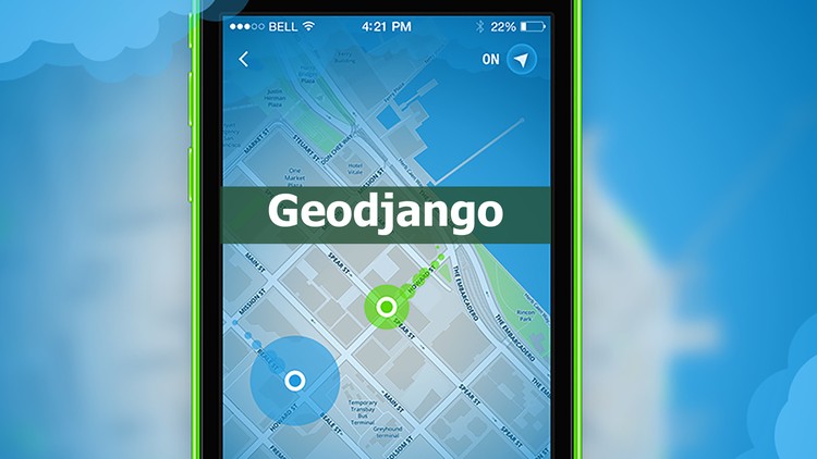
Learn Geographic Information Systems with geodjango
Learn how to create location based applicatons like swarm, foursquare or tinder.
3.46 (38 reviews)

227
students
3 hours
content
Feb 2016
last update
$13.99
regular price
What you will learn
You will gain knowledge about apps such as swarm, tinder and foursquare.
If you are thinking about creating a location-based product, you will be able to do this easily.
For example, you will be able to find and list users who are the nearest to the farthest to the London eye.
If you have a website about real estates like where you sell property, you can save the limits of the land/property into your database and will be clearly shown on the map.
You will be able to search and match up other people who are near eachother and you will be able to show the amount of distance in between the two users. App examples: instamessage and wechat.
For example, if you want only the people in a particular area to chat to each other for example people who are in the beach, you can set km limits and people outside that km limit will not be able to use the chat. After this lecture, you will learn these.
Learn how to using geospatial databases
Learn how yo using postGis with postgreSQL
Learn why you need PROJ4 and GEOS
Learn how yo using geodjango
Screenshots


Related Topics
305714
udemy ID
9/23/2014
course created date
12/1/2020
course indexed date
Bot
course submited by